

You can find on this page the blank map of Ireland to print and to download in PDF. The contours map of Ireland presents the international boundary of Ireland in Northern Europe. You can use the vector map of Ireland for personal or educational use.
The blank map of Ireland shows the country Ireland empty. This blank map of Ireland will allow you to use the map for personal activities or educational with children for example (drawing). The empty map of Ireland is downloadable in PDF, printable and free.
The island from which your ancestors originated is situated on the north-eastern fringe of the Atlantic and on the north-western edge of Europe. It occupies a total area of approximately 84,409 square km/ 32,599 square miles as you can see in the Blank map of Ireland. The Republic of Ireland measures 70,273 square km/27,132 square miles while the six counties that today make up Northern Ireland measure about 14,136 square km/5,467 square miles.
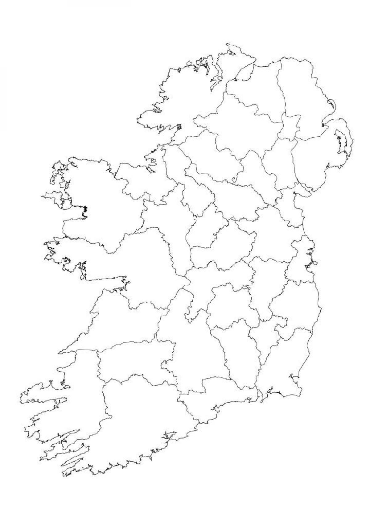
Ireland (officially, the Republic of Ireland) is divided into 26 county councils, 3 city councils, 2 city & county councils as its shown in the Blank map of Ireland. The county councils are: Carlow, Dun Laoghaire Rathdown, Fingal, South Dublin, Kildare, Kilkenny, Laois, Longford, Louth, Meath, Offaly, Westmeath, Wexford, Wicklow, Clare, Cork, Kerry, Tipperary, Galway, Leitrium, Mayo, Roscommon, Sligo, Cavan, Donegal and Monaghan. The city councils are: Dublin city council, Cork city council and Galway city council. The city and county councils are: Limerick city and county council, Waterford city and county council.
Ireland has its border attached with Northern Ireland and the official capital of the country is Dublin. Irish and English are the popular languages of Ireland spoken by most of the people. Any individual who wants to learn drawing the map of Ireland for the very first time should start it with the blank outlined map of country. The Blank map of Ireland provides the guiding outer boundaries structure of Ireland, by which an amateur or the beginner can easily draw accurate map of the country.
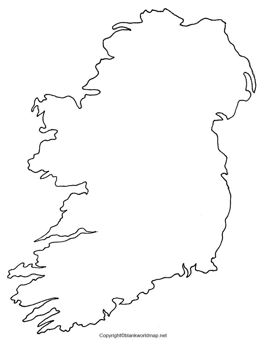
The Ireland map outline shows all the contours and international boundary of Ireland. This outline map of Ireland will allow you to easily learn about neighboring countries of Ireland in Northern Europe. The Ireland contours map is downloadable in PDF, printable and free.
Ireland was divided up into counties by the English crown around 400 years ago. Since then, the counties have remained largely unchanged. In Northern Ireland they survive merely as curiosities - not having any actual purpose any more. In the Republic of Ireland, however, these historic divisions are still used as the basis of local government. Ireland map outlines below shows the 32 counties in the island of Ireland (26 in the Republic of Ireland and 6 in Northern Ireland) as well as some of the major towns (in italics).
The counties of Ireland (Irish: contaetha na hÉireann; Ulster-Scots: coonties o Airlann) as its shown in Ireland map outlines are sub-national divisions that have been, and that in some cases continue to be, used to geographically demarcate areas of local government. The now obsolete concept of county corporate designated a small number of towns or cities which were deemed to be no less important than the existing counties in which they lay, thus acquiring county status in their own right. The older term "shire" was historically equivalent to "county". By the early 17th century, all of the Kingdom of Ireland had been shired. These land divisions were formed following the Norman invasion of Ireland in imitation of the units of local government then in use in the Kingdom of England.
Ireland consists of four provinces, broken up into 32 counties as follows: Province of Connaught: Galway, Leitrim, Mayo, Roscommon and Sligo. Province of Leinster: Carlow, Dublin, Kildare, Kilkenny, Laois, Longford, Louth, Meath, Offaly (previously known as King Co), Westmeath, Wexford and Wicklow. Province of Munster: Clare, Cork, Kerry, Limerick, Tipperary and Waterford. Province of Ulster:Cavan, Donegal and Monaghan are in the Republic of Ireland; Antrim, Armagh, Down, Fermanagh, Derry and Tyrone are in Northern Ireland, a part of the UK. The main towns of Ireland, historically, were Dublin and Cork. Belfast grew significantly in the 19th century. In the Republic, Galway, Limerick and Waterford have all become major cities during the course of the last 100 years or so.
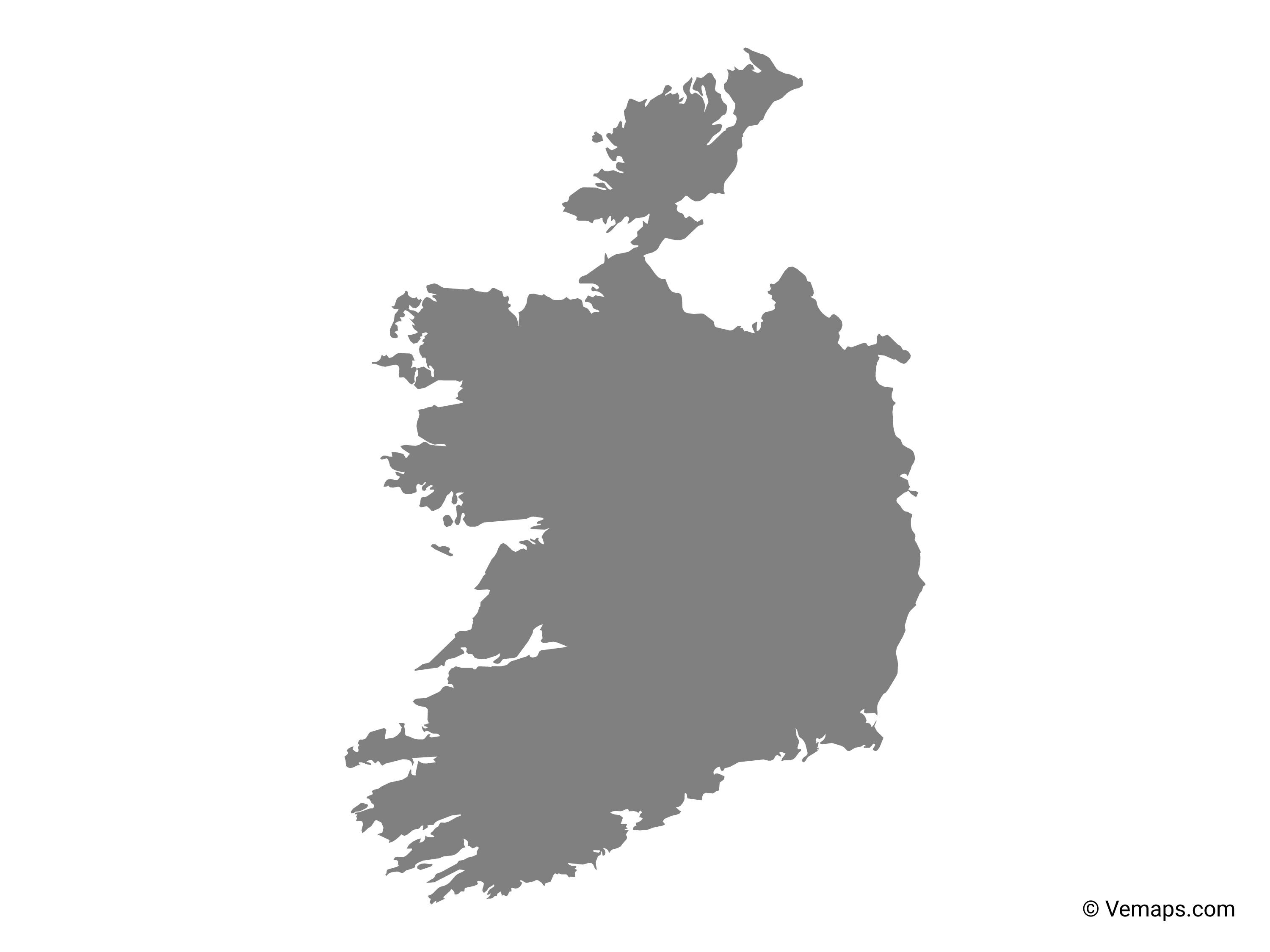
The vector map of Ireland shows entire surface of Ireland empty. This vector map of Ireland will allow you to make changes or add details to the map of Ireland in Northern Europe, for personal or educational purposes. The vectorial map of Ireland is downloadable in PDF, printable and free.
Ireland map vector shows the overall shape of country and you can portray or highlight the important border by using this vector map of Ireland. You can here check out the decent template of Ireland vector map. You can use this map of Ireland to learn the geography of country, such as its political borders, landmarks and other specific objects.
The Ireland map vector provides information on the location of Ireland and its counties, cities and other important locations. Ireland is surrounded by Donegal Bay, Galway Bay, Irish Sea and Celtic Sea. UK is located on the northeastern side of Ireland. This vector map is very convenient to locate the counties and other important locations of Ireland.
Ireland Locations as you can see in Ireland map vector: Atlantic Ocean, Blue Stack Mountains, Celtic Sea, Dingle Bay, Donegal Bay, Dundalk Bay, Galty Mountains, Galway Bay, Inishtrahull Sound, Irish Sea, Knockmealdown Mountains, Lough Conn, Lough Corrib, Lough Derravaragh, Lough Ennell, Lough Leane, Lough Mask, Lough Owel, Lough Ree, Lough Sheelin, North Channel, River Shannon, Slieve Bloom Mountains, Slieve Gamph (The Ox Mountains), St. George Channel, Waterford Harbour, Wexford Harbour and Wicklow Mountains.